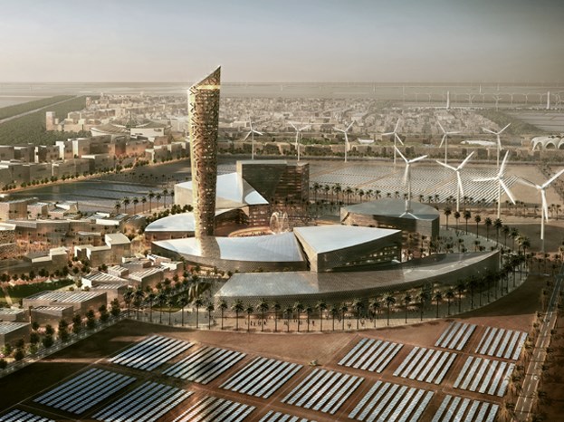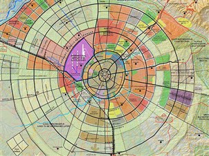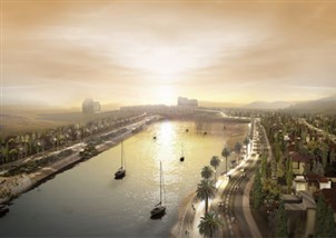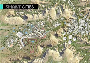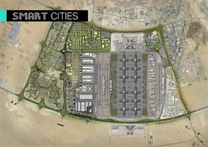
Geographical Information System
Our team’s experience in Geographic Information Systems (GIS), Remote Sensing (RS) and other geospatial services dates back to the 90s.
Over the years we have successfully integrated GIS into different areas of work, including:
- Master planning and urban design
- Real estate management
- Environmental modeling and monitoring
- Natural resources management
- Asset and facilities management
- Transport planning and analysis
- Utilities and communications networks
- Civil engineering and project planning
- Information systems integration
Our professionals make use of GIS/RS technology in stand-alone or multi-disciplinary engineering projects. They have used GIS/RS technology for needs assessment and requirements analysis, business processes modeling and analysis, and cartographic map production, among other projects.